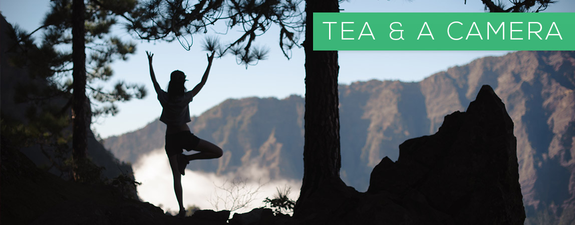
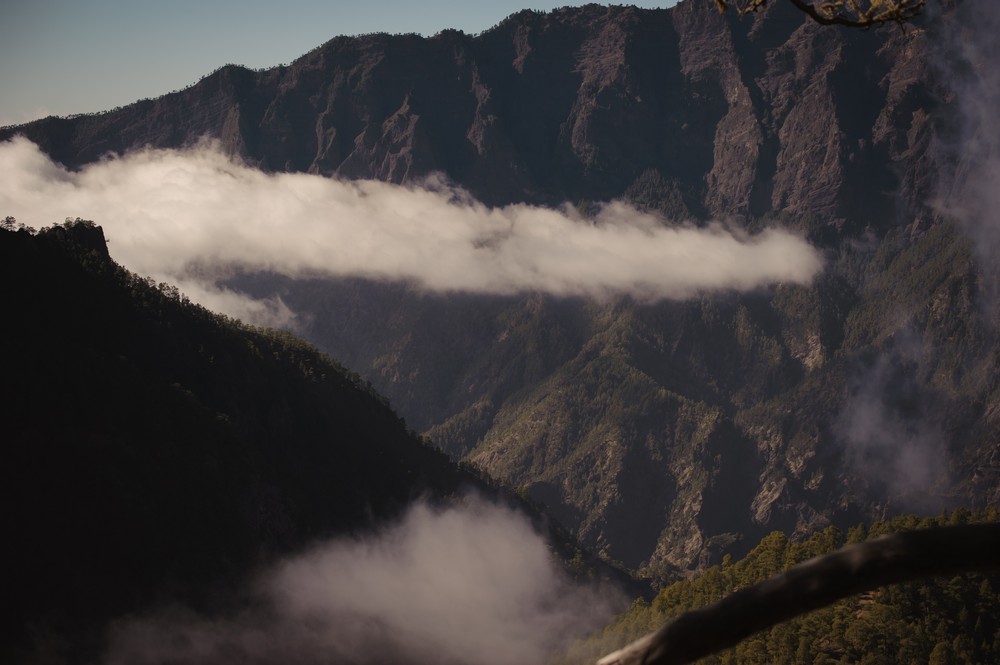
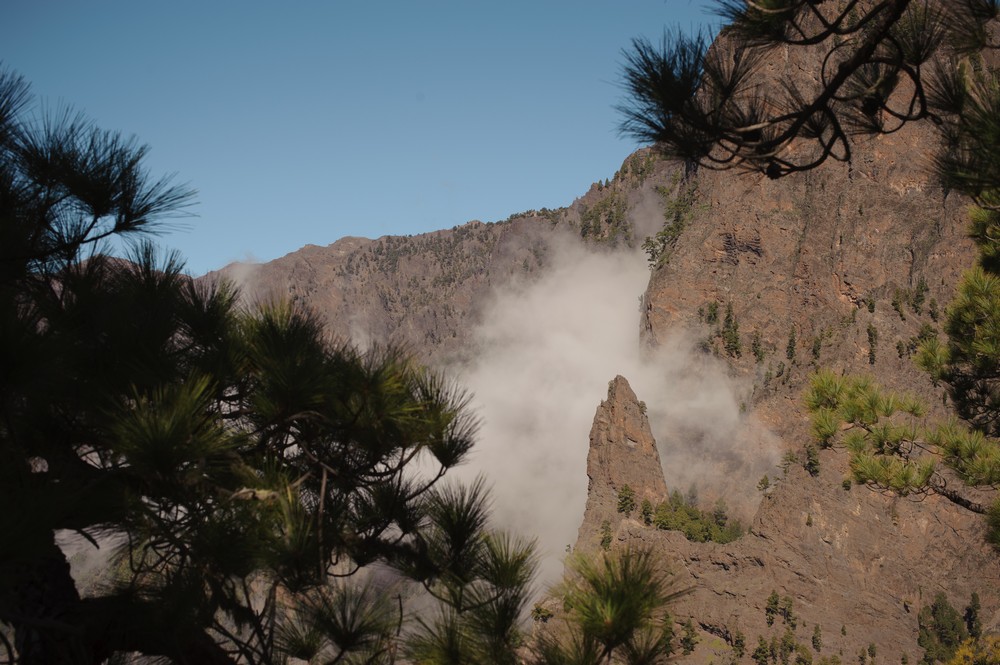
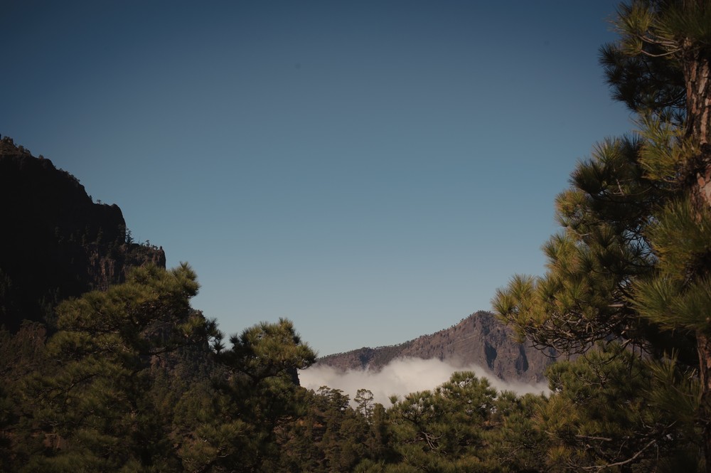
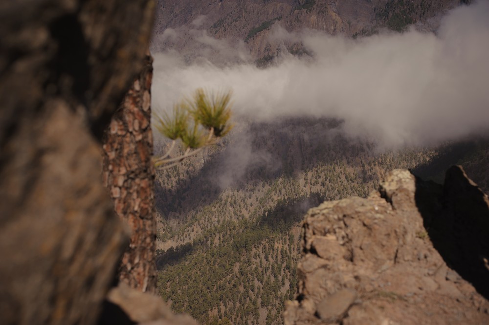
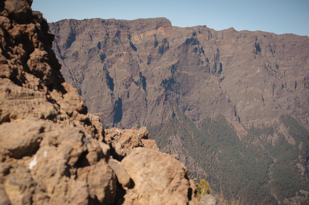
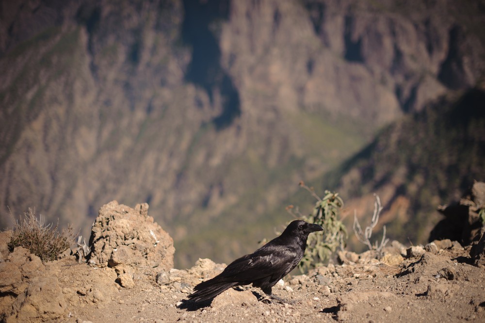
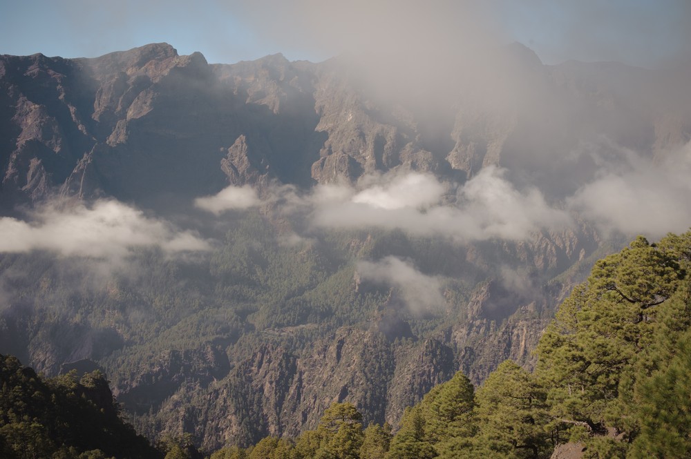
If walking’s your thing, La Palma’s got mountains to climb, beaches to stroll, volcanic deserts to hike through and forests to explore. The caldera (caldera means “cauldron”in Spanish), or crater-like space, is apparently just a mountain arch in a crater shape. It’s not actually a crater. The space that the mountains create is about 10 kilometres across and mountains tour as high as 2000 meters in some areas with Roque de los Muchachos as the highest point at 2 426 meters.

ARRIVE
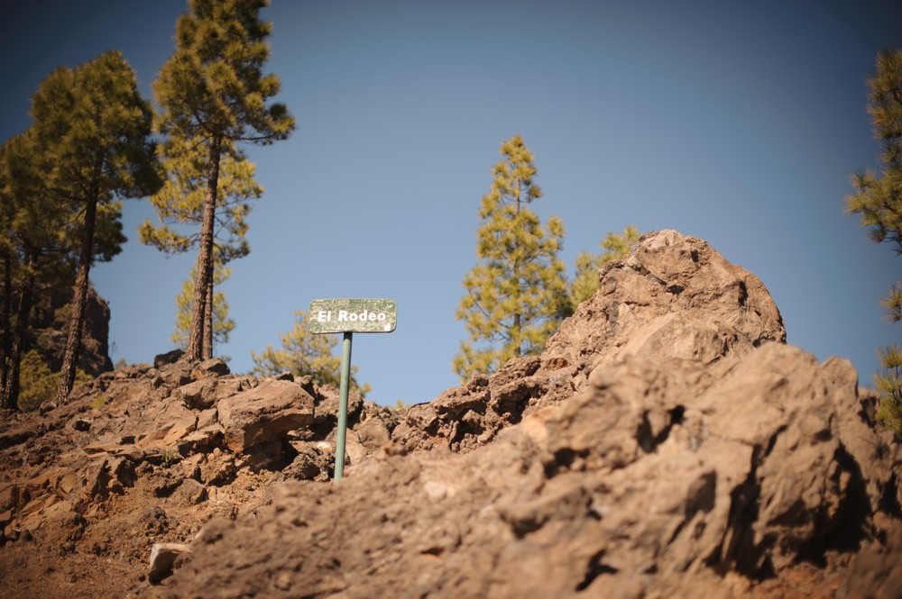
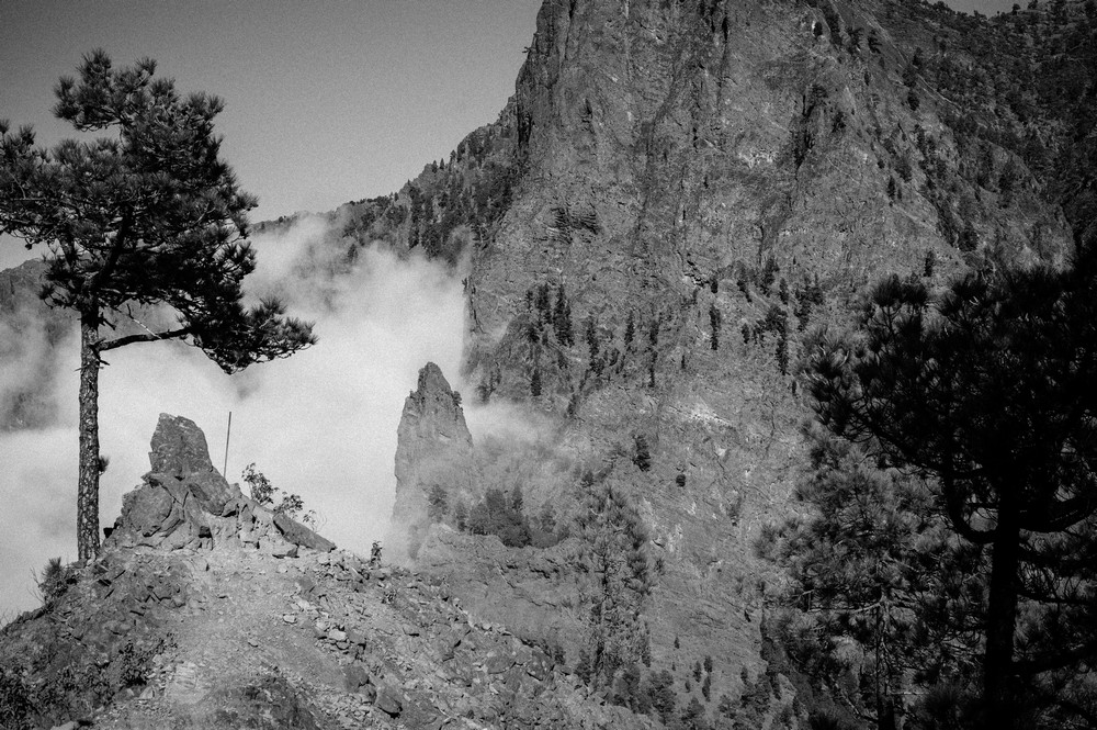
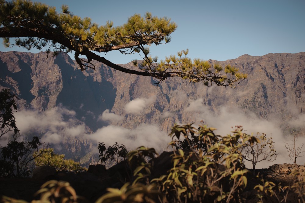
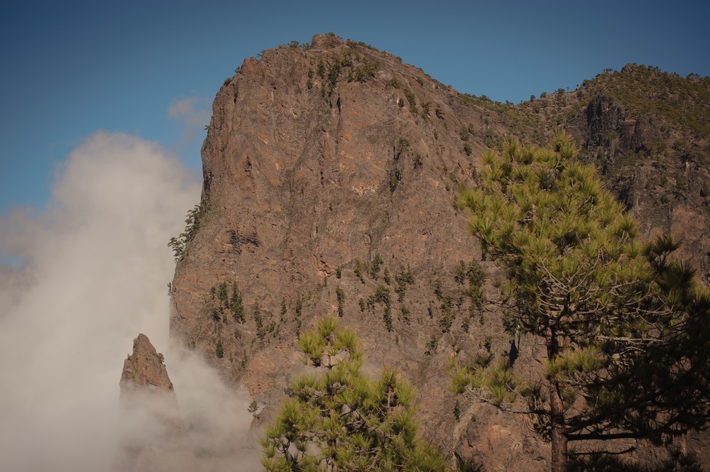
We started our hike at La Cumbrecita View Point / Mirador de la Cumbrecita. There are various routes to choose from in Caldera de Taburiente National Park – some are about 9 hours long so plan to arrive as early as possible. It might be a bit tricky getting to the park via public transport so I recommend getting a taxi or renting a car. From experience, I’d say Canary Island Car Hire is a great option.
PARK
I found to be confusing because there are three different parking spots – two quite far from the starting point of the routes. I’m adding some Google Maps links to this section to help make sense of the situation. As soon as you turn off the main highway to go to the National Park, there’s a visitor’s centre and parking area on the right. You can walk from here if you want to add 6 kilometres to any hike you plan on doing (not recommended  ). If you don’t want to walk, catch a taxi to the lookout point where the hikes start. A few kilometres further along there’s another parking area under some pine trees, right before a boom. We parked here because the spots here are free although somewhat limited. The downside is it’s a 4 kilometre uphill walk to the point where you can get to the starting point of the hikes. You can also catch a taxi from here (you could probably flag one down as I’m pretty sure that’s all some of them do all day, go up and down that hill). If you’re organised you can book a parking spot at La Cumbrecita View Point online in advance and save yourself the taxi fare as well as a long warm up!
HIKE
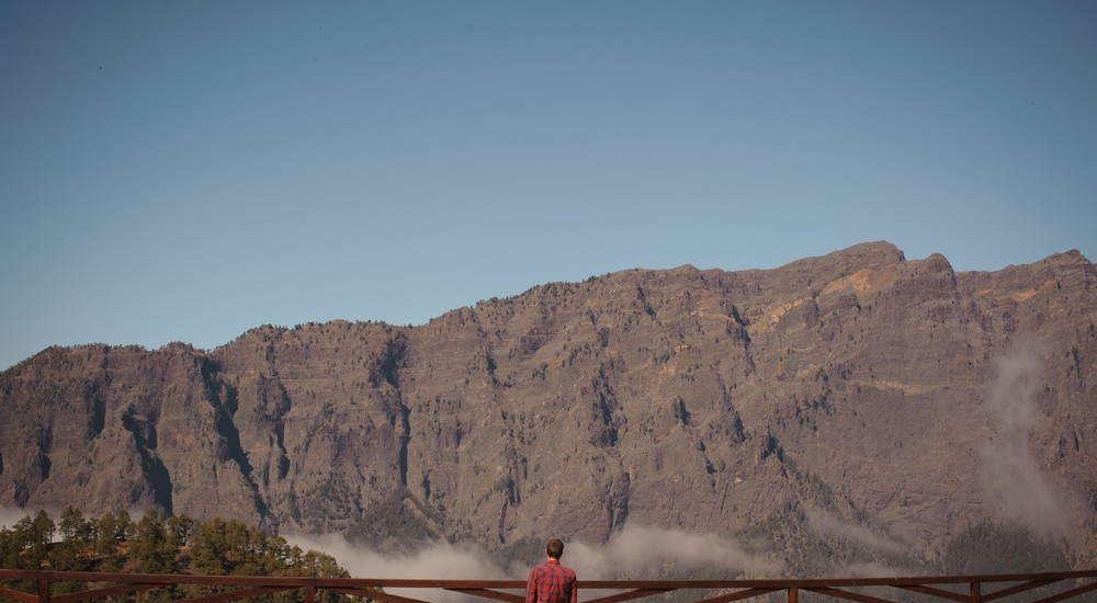
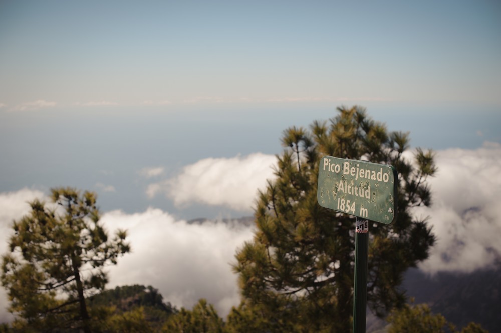
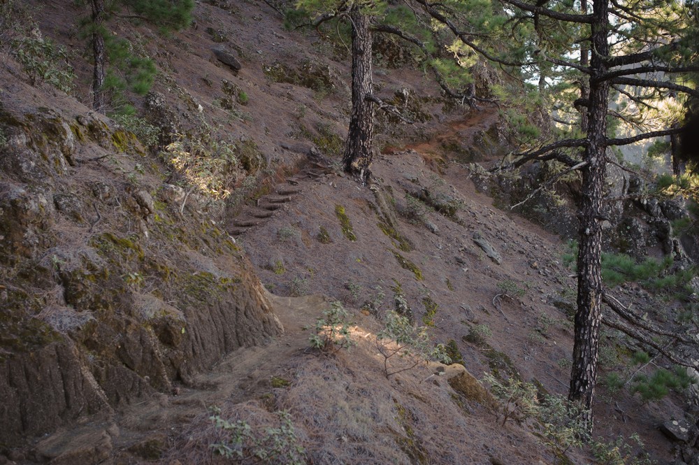
There are various paths that can be hiked from the last parking area and the sign board at the view point is really detailed and the route we did was well marked. Nonetheless, a map could be a good idea. We took the high road and headed up to the Peak Bejenado. We started an hour or so before midday so didn’t have time or food resources to go on one of the longer routes.
PACK
Bring sun cream, a hat, sunglasses, a generous amount of food and water and a camera. Good shoes are a must and in terms of clothing, bring a windbreaker (even if it’s a really still day!) and some warm clothing.
EAT
Once in the Caldera de Taburiente National Park, there aren’t many facilities (no shops, restaurants or toilets) so come prepared with enough water, snacks and a solid lunch. You might find your hike ends up being longer than expected so it can help to over-prepare slightly.

STAY
We stayed at a little Air BnB in Los Llanos, but there is camping available in the National Park too.